An Introduction to Earth Engine Data Catalog - List of Available Datasets

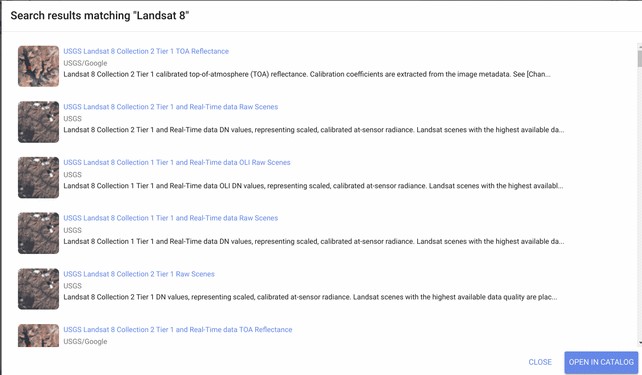
Google Earth Engine (GEE) hosts publicly available multi-petabyte curated geospatial datasets from various sources fostering geospatial analysis and overcoming the limitations of data storage and computational power. The bulk catalog of the earth engine provides more than 200+ datasets, including entire Landsat satellite imagery, Sentinel-1, Sentinel-2, Sentinel-3, and many more. Below provides a detailed list of frequently used datasets in the earth engine data catalog -
Dataset | Nominal resolution | Temporal granularity | Temporal coverage | Spatial coverage |
Landsat |
|
|
|
|
Landsat 8 OLI/TIRS | 0 | 16 day | 0 | Global |
Landsat 7 ETM+ | 0 | 16 day | 0 | Global |
Landsat 5 TM | 0 | 16 day | 0 | Global |
Landsat 4–8 surface reflectance | 0 | 16 day | 1984–Now | Global |
Sentinel Sentinel 1 A/B ground range detected |
10 m |
6 day |
2014–Now |
Global |
Sentinel 2A MSI | 0 | 0 | 0 | Global |
MODIS MOD08 atmosphere |
1° |
Daily |
2000–Now |
Global |
MOD09 surface reflectance | 0 | 1 day/8 day | 0 | Global |
MOD10 snow cover | 0 | 1 day | 0 | Global |
MOD11 temperature and emissivity | 0 | 1 day/8 day | 0 | Global |
MCD12 Land cover | 0 | Annual | 0 | Global |
MOD13 Vegetation indices | 0 | 16 day | 0 | Global |
MOD14 Thermal anomalies & fire | 0 | 8 day | 0 | Global |
MCD15 Leaf area index/FPAR | 0 | 4 day | 0 | Global |
MOD17 Gross primary productivity | 0 | 8 day | 0 | Global |
MCD43 BRDF-adjusted reflectance | 0 | 8 day/16 day | 0 | Global |
MOD44 veg. cover conversion | 0 | Annual | 0 | Global |
MCD45 thermal anomalies and fire | 0 | 0 | 0 | Global |
ASTER L1 T radiance |
15/30/90 m |
1 day |
2000–Now |
Global |
Global emissivity | 0 | Once | 0 | Global |
Other imagery PROBA-V top of canopy reflectance |
100/300 m |
2 day |
2013–Now |
Global |
EO-1 hyperion hyperspectral radiance | 0 | Targeted | 0 | Global |
DMSP-OLS nighttime lights | 1 km | Annual | 0 | Global |
USDA NAIP aerial imagery | 1 m | Sub-annual | 0 | CONUS |
Topography |
|
|
|
|
Shuttle Radar Topography Mission | 0 | Single | 2000 | 0 |
USGS National Elevation Dataset | 0 | Single | Multiple | United States |
USGS GMTED2010 | 7.5″ | Single | Multiple | 83°N–57°S |
GTOPO30 | 0 | Single | Multiple | Global |
ETOPO1 | 1′ | Single | Multiple | Global |
Landcover |
|
|
|
|
GlobCover | 0 | Non-periodic | 2009 | 0 |
USGS National Landcover Database | 0 | Non-periodic | 0 | CONUS |
UMD global forest change | 0 | Annual | 0 | 0 |
JRC global surface water | 0 | Monthly | 0 | 0 |
GLCF tree cover | 0 | 5 year | 0 | Global |
USDA NASS cropland data layer | 0 | Annual | 0 | CONUS |
Weather, precipitation & atmosphere |
|
|
|
|
Global precipitation measurement | 6′ | 3 h | 0 | Global |
TRMM 3B42 precipitation | 15′ | 3 h | 0 | 0 |
CHIRPS precipitation | 3′ | 5 day | 1981–Now | 0 |
NLDAS-2 | 7.5′ | 1 h | 1979–Now | North America |
GLDAS-2 | 15′ | 3 h | 0 | Global |
NCEP reanalysis | 2.5° | 6 h | 1948–Now | Global |
ORNL DAYMET weather | 1 km | Annual | 0 | North America |
GRIDMET | 4 km | 1 day | 1979–Now | CONUS |
NCEP global forecast system | 15′ | 6 h | 0 | Global |
NCEP climate forecast system | 12′ | 6 h | 1979–Now | Global |
WorldClim | 0 | 12 images | 0 | Global |
NEX downscaled climate projections | 1 km | 1 day | 0 | North America |
Population WorldPop |
100 m |
5 year |
Multiple |
2010–2015 |
GPWv4 | 0 | 5 year | 0 | 0 |
Share To
About Author

- Kamal Hosen
Geospatial Developer | Data Science | PythonA passionate geospatial developer and analyst whose core interest is developing geospatial products/services to support the decision-making process in climate change and disaster risk reduction, spatial planning process, natural resources management, and land management sectors. I love learning and working with open source technologies like Python, Django, LeafletJS, PostGIS, GeoServer, and Google Earth Engine.


